One way of finding out how a disease is spread is by looking at where it occurs. Rocky Mountain spotted fever came to be studied in Montana’s Bitterroot Valley because the bites of the western slope’s ticks caused a particularly deadly infection, meaning that more people died. By mapping and charting where they found ticks or where people got RMSF, the researchers could find the ticks and animals they needed to study. Mapping turned up interesting insights, such as one area may have a heavily infected tick population, but an area across a stream did not. Ticks do not like to swim.
Div
class
grid-col-6
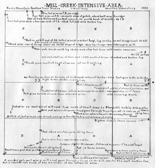
C.M. Salisbury drew this grid map of an area of land near Mill Creek in 1922. Included were the sites of stumps, trees, and roads. The researchers could use it to keep track of where they collected ticks.
Image: Montana Memory 961b -WE HAVE OTHER MAPS TO SCAN TO USE